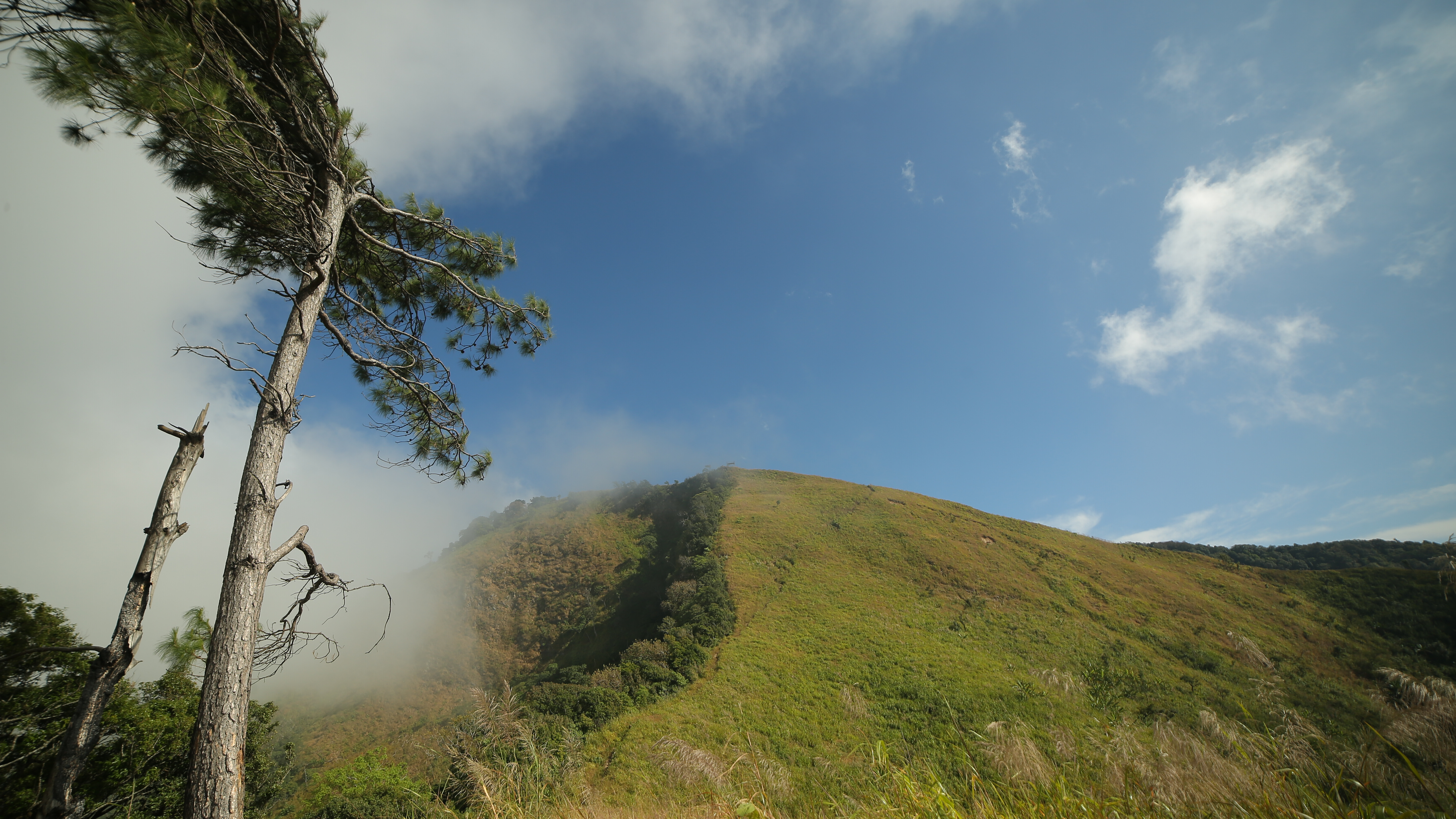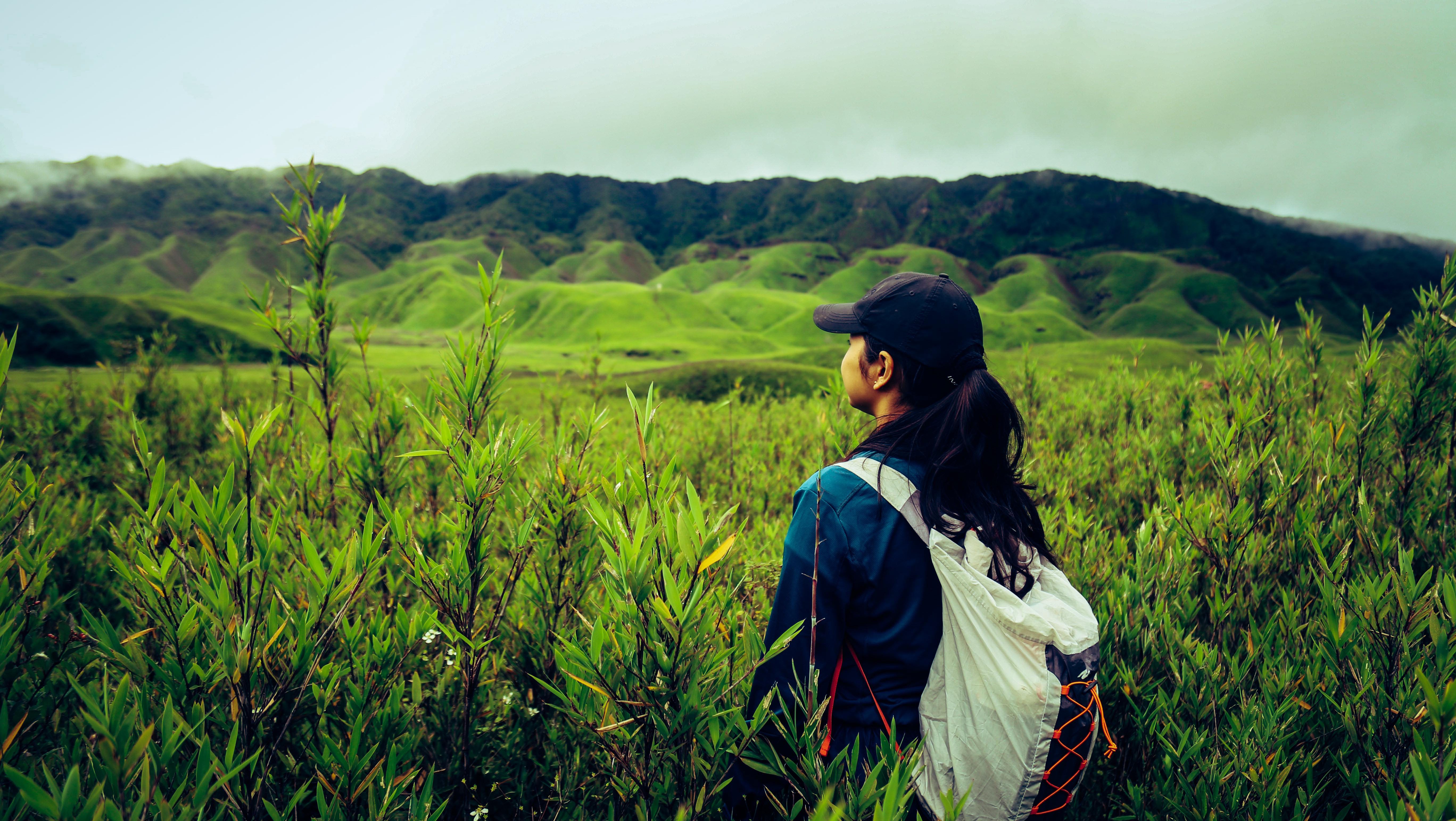
The ‘Bailey Trail’ crosses through some pristine remote forests of the Eastern Himalayas, where pine, oak and rhododendrons grow a plenty. Throughout the trek, you will be overwhelmed by the presence of breathtaking landscapes passing through quaint Monpa villages. At 4711 meters Tse la Pass is the highest point of this trek. You will be crossing high mountain passes, glacial rivers, crystal clear lakes, villages of the Monpa Tribe, and will stay at locations that will awe you.There are lovely Alpine lakes and breathtaking views of the Gori Chen and Kangdo peaks.
The Bailey Trail in the West part of Arunachal Pradesh, traces the historic route taken by Lt. Col. F. M. Bailey and Capt. H.T. Morshead, British officers who were commissioned to survey the Arunachal – Tibet border during 1911 -12. Starting in Eastern Arunachal, then known as NEFA [North Easter Frontier Agency], the two British officers travelled along the dangerous Tsangpo River all the way to Chayul and Tsona Dzong in Tibet. After completing the survey Lt. Col. Bailey and Capt Morshead returned into Indian territory at Tulung La in western Arunachal, descending to Mago village crossing over Tse La to reach Pota, and then from Poshing La down to Thembang. This route popularly came to be known as the “Bailey Trail”. The surveyed area was used by Sir Henry McMohan, one of the defense secretaries in the Government of India, to draw his famous McMohan line in 1914
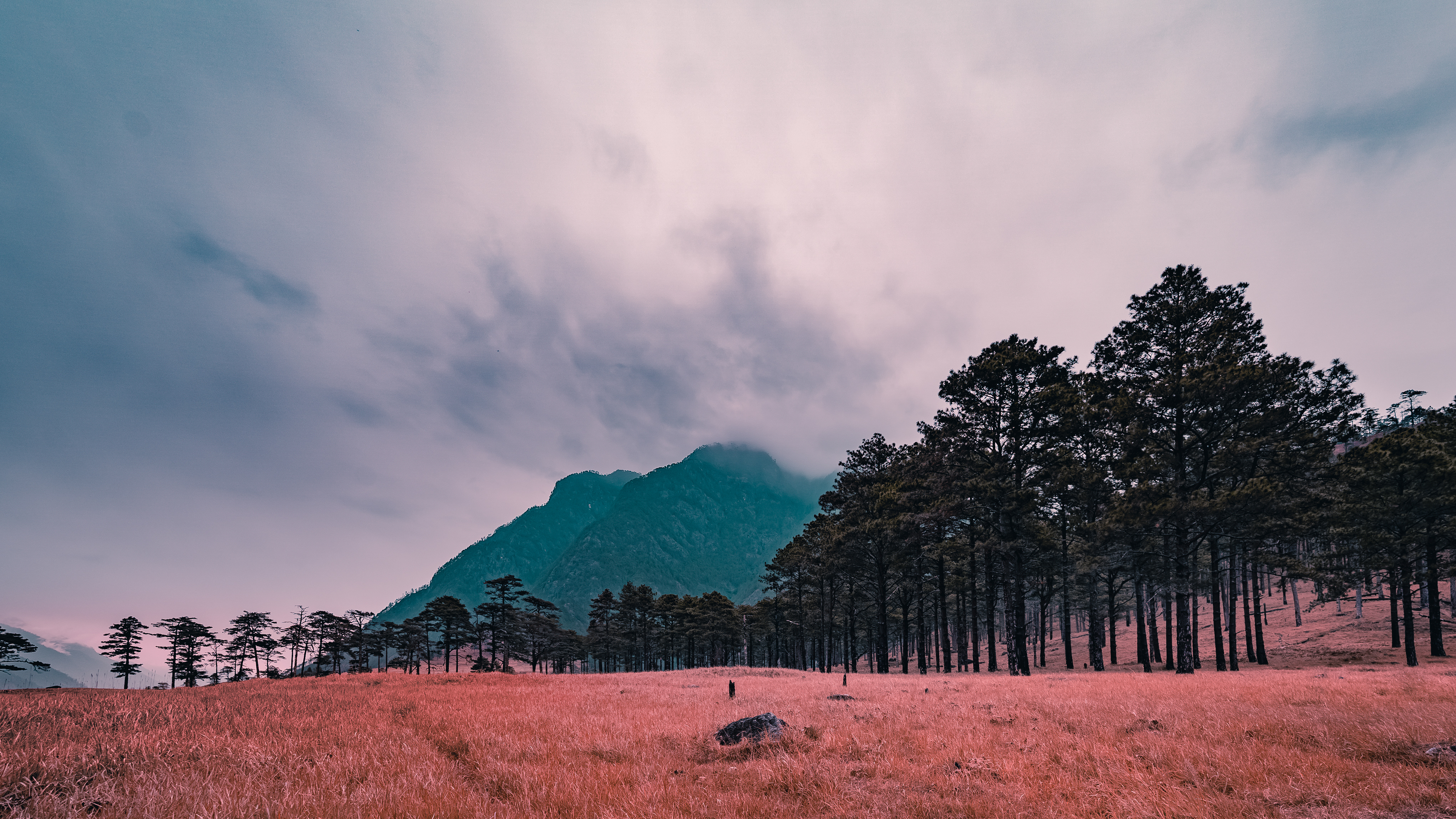
We start the Bailey Trail commencing from the historic village of Thembang. Three days of steady climbing through thick forests brings us to Poshing La from where we get the most stupendous views of the Gorichen massif, as the peaks of Gorichen (6,538 m), Kangto (7,090 m), Nyegyi Kangsang (7,047 m) and Takpa Shiri (6,655 m) flood the landscape with their beauty. Crossing over Tse La we get to Mago village and onto Jang on the Bomdila- Tawang highway.
Itinerary
Day 1
Start Journey from Guwahati to Dirang Valley - 12 hrs
Overnight Stay at Dirang
Start Journey from Guwahati to Dirang Valley - 12 hrs
Overnight Stay at Dirang
Day 2
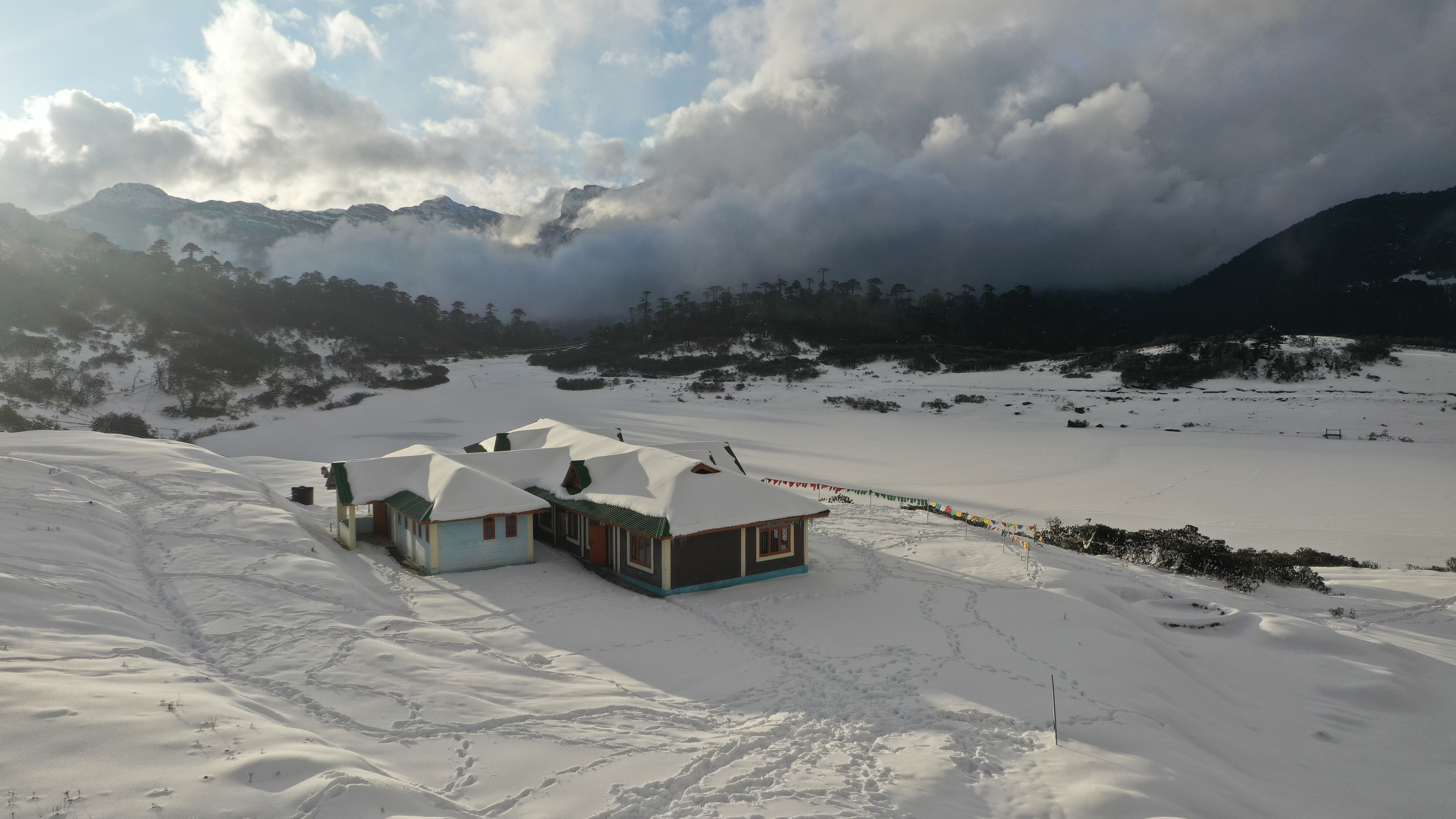
Dirang to Lagam: Drive to the historic village to Thembang where we take a brief halt to walk through the ancient fort area. Drive a little further to Pangma from where we start our trek on the Bailey Trail. It is a steady uphill climb passing through some thick sub-temperate forests. Over Night stay in tents. 5 hrs Alt-8858ft
Day 3
Lagam to Thungri :The trail steadily climbs up through the now changing temperate forest. All through we will hear chirping of birds like Grandla Chestnut tailed Minla Blue headed Rock Thrush and Bullfinch. Over Night stay in tents 4 hrs Alt-10500ft
Day 4
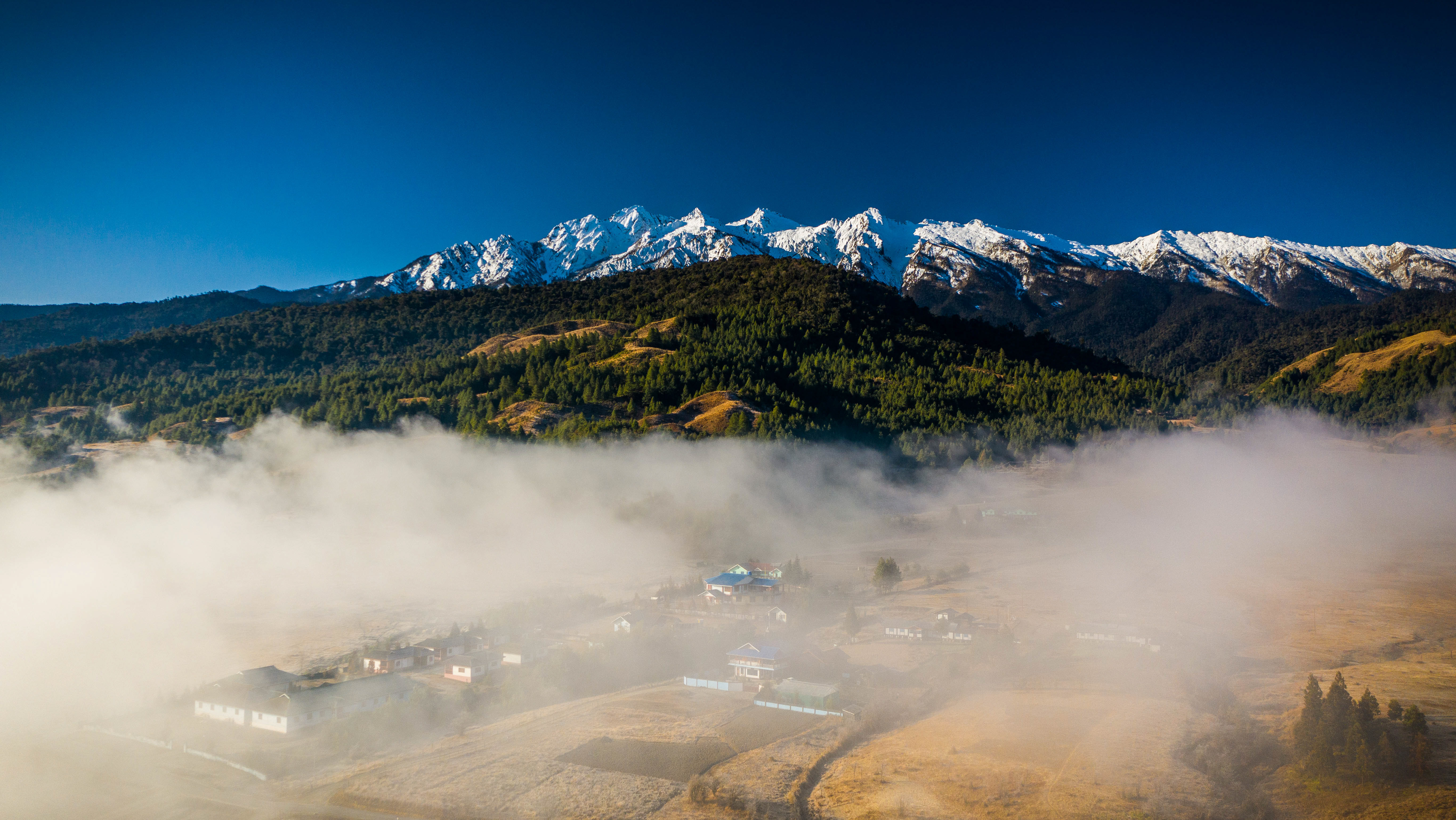
Thungri to Chang La:Wake up to stunning views of clouds floating above the valley through which the mountain peaks peer. Today the trail will pass through thick rhododendron forest with a steady climb for around 3 hours. On reaching Kadambara there is a stiff 2 hour climb to our picturesque campsite. Over Night stay in tents . 6 hrs Alt-12335 ft
Day 5
Chang La to Pangi La : We trek up further through alpine country to cross over Poshing La which offers grand views of Gorichen and Kangto. On crossing the pass our route gradually descends down to Pangi La where we camp for the night . Over Night stay in tents. 6 hrs Alt-13320 ft
Day 6
Pangi La to Potok :The route initially descends down gently to a stream crossing from where we climb up to Nyang. Another one hours trek from here gets us to Potok. Over Night stay in tents. 6 hrs Alt 15332 ft
Day 7
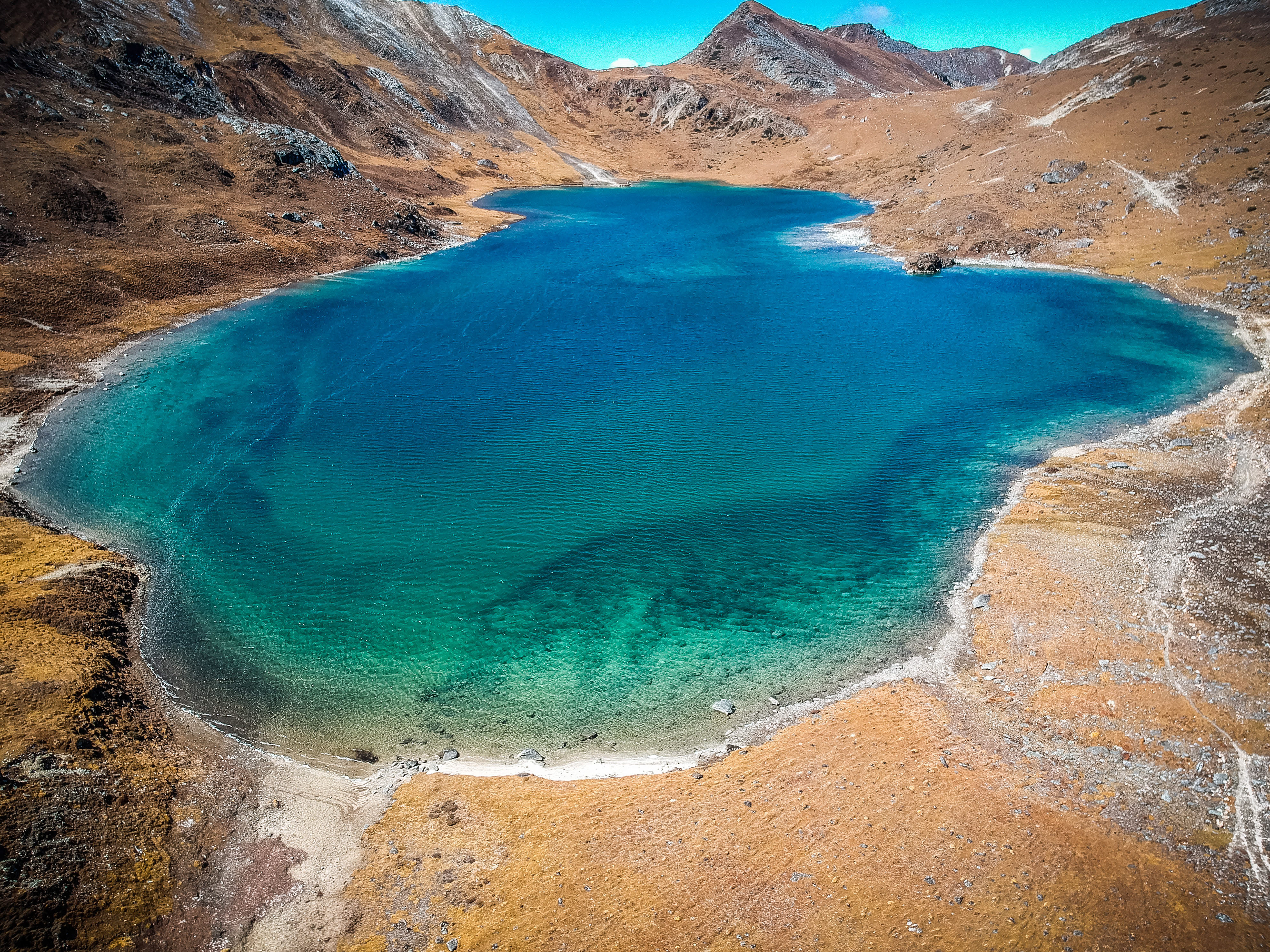
Potok to Lurtem : We trudge along for two hours with heavy breaths to cross Tse La pass(4700 m) the highest point on the Baiely Trail trek. On crossing the pass we are greeted by the sight of a picturesque glacial lake. The landscape changes as we descend down the valley. Our route continues alongside a river till we reach Lurtem. Over Night Stay in Tents. 6 hrs Alt 14122 ft
Day 8
Lurtem to Mago :Continue our walk alongside the wide riverbed before we commence a steep one hour climb. From here we descend down towards Tawang Chu through rhododendron forests. After some time the rhododendrons give way to a lush temperate forest indicating our proximity to Mago village. Over Night Stay in Tents. 6 hrs Alt 11520 ft
Day 9
Mago to Thimpu Hydel - Tawang :The last day of the trek is a series of ups and downs through the forest in the occasional company of Tawang Chu. From the end point our vehicles pick us up for our onward two hour drive to Tawang. One night stay at Tawang Homestay or similar 5 hrs Alt 10995 ft
Day 10
Return Journey to Guwahati from Tawang
Services That Will Be Provided by Us:
*Tents
* Sleeping Mattress
* Sleeping Bag
* Meals (Breakfast / Lunch / Dinner)
* Transportation
* Camping Arrangements (Base Camps)
* Inner Line Permit
* First Aid
What To Carry:
Sleeping Bag
Jacket/Wind-cheater
Raincoat
Socks Extra Pairs
Thermal Wear
Trekking Shoes (Good Grip and Waterproof)
Sunglasses
Water Bottle
Personal Medication.
Torch and batteries.
Rucksack bag
Other Important Information:
Electricity and Mobile Network is not available along the journeys points solar or portable charge is available to be used .Do not carry more than 1 bag/rucksack as you may need to use your hand during climbing up the hill.Try to keep your baggage weight as low as possible which will be helpful during climbing up the hill.
COST INCLUSIVE OF TRANSPORTS FROM GUWAHATI TO GUWAHATI WITH MULE LUGGAGE SUPPORT AND GUIDE IN ENTIRE TREK ROUTE
Minimum group of eight people will be entertained.